USDA FOREST SERVICE
Pacific Southwest Research Station
Fire Science: Wildfire Monitoring and Prediction
California Vegetation Age Classes by Area
Through the 2015 fire season
| California Vegetation Age Classes by Area |
| Sierra Nevada |
| South Central Coast |
| San Gabriel, San Bernardino |
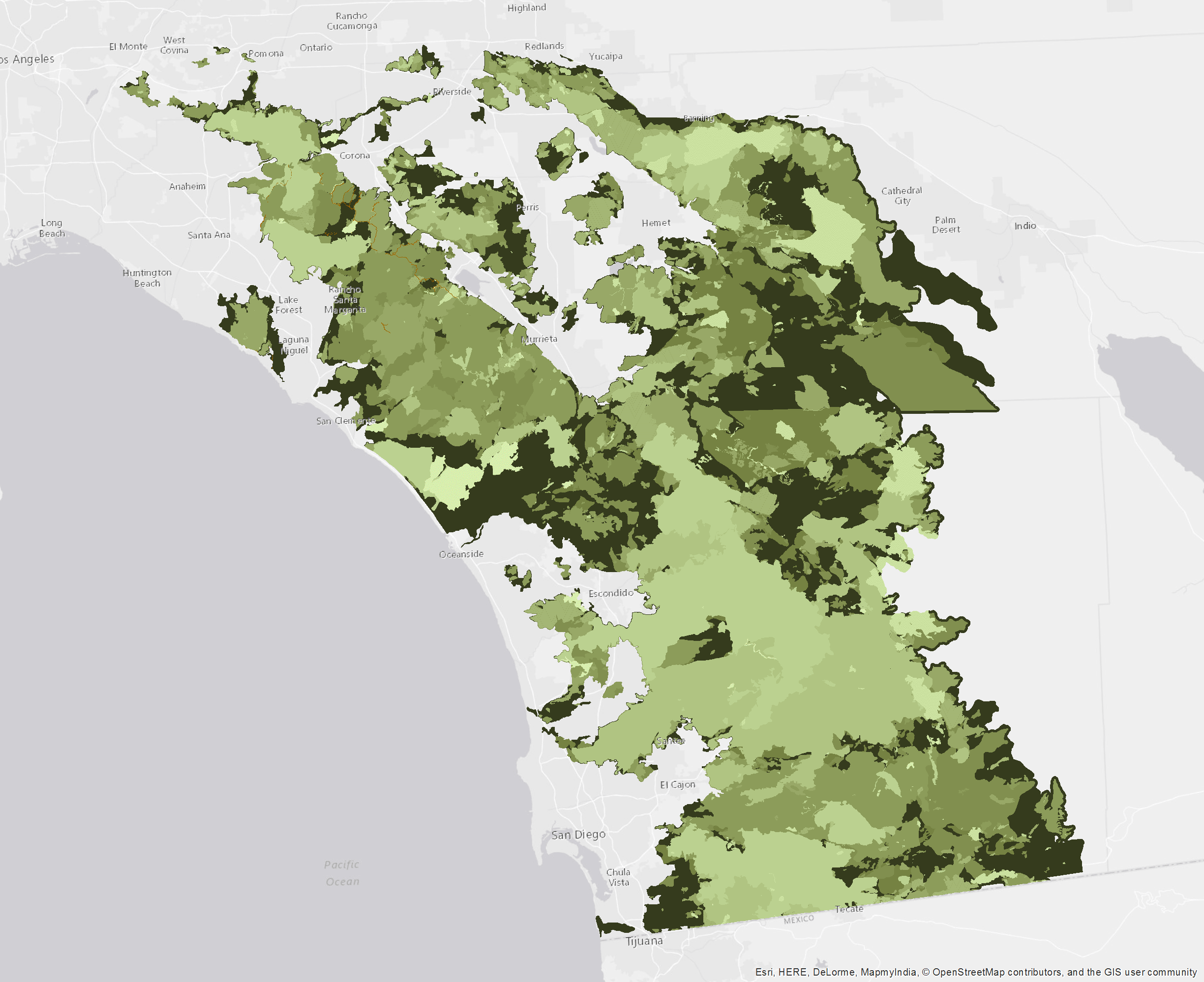
| San Diego, Orange & Riverside |
|
| 1-2 3-5 6-10 11-15 16-20 21-30 31-50 51-75 >75 8888(unknown) 9999(no burn) |
|
| Color Key of Age in Years |
|

Click on the image above to view a larger (JPEG) image
(opens a new browser window)
San Diego, Orange and Riverside Vegetation
Maps of vegetation age derived from fire history data
The vegetation age layer was created from Department of Forestry and Fire Protection's Fire and Resource Assessment Program’s (FRAP) historical records of fire perimeters prepared in June 2016, and is current for use during the 2016 fire season.
| Downloads and Links | ||
Sierra Nevada Vegetation Age Classes
|
||
Southern Central Coast Vegetation Age Classes
|
||
San Gabriel & San Bernardino Vegetation Age Classes
|
||
San Diego, Orange & Riverside Vegetation Age Classes
|
Pacific Southwest Research Station (510) 559-6300 |

