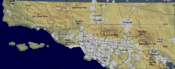
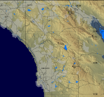
Fire locations (currently active and past) are displayed on
the map below.
Only fire incidents that have been flown as fire
research data collection missions are shown.
Click on
fire graphic or title text to open current fire imagery page for
that fire.
(Click on link below to open
larger version of map.)
FireMapper™ has
been developed through a Research Joint Venture with Space Instruments,
Inc., and support from the National Fire Plan, Forest Service International
Programs, the U.S. Department of Agriculture, the Joint Fire Sciences Program, and the U.S. Agency
for International Development.
Disclaimer: Trade names, commercial products, and enterprises
are mentioned solely for information. No endorsement by the U.S. Department
of Agriculture is implied.