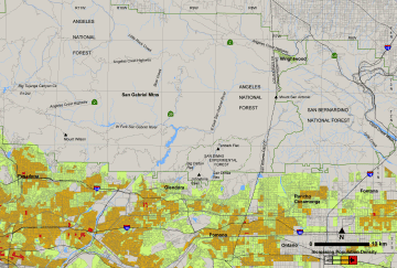
San Dimas Experimental Forest

SDEF Home Page | Williams Fire | Fire Severity | Fire Emissions | Water Quality | Water Yield | Ecology | Lysimeters | Resources & Maps | Photos | Management Plan | Site description, Facilities, and Use | The Future of San Dimas

Maps of the San Dimas region:

Map of the San Dimas region

Click on the thumbnail to the left to view the full-resolution image.

Map of the San Gabriel region

Click on the thumbnail to the left to browse the full-resolution image.

Shaded relief map of the San Dimas region, derived from 10-meter DEM data.

Click on the thumbnail to the left to browse the full-resolution image.

Click on this link to download the original DEM data in ASCII DEM format (11 MB ZIP file).

1:24,000 topo map of the San Dimas region, spliced together from the Mt. Baldy and Glendora quads. 1.5 m pixel size, UTM NAD 27 projection.

Click on the thumbnail to the left to browse the full-resolution image.

Click on this link to download the image in geoTIFF format (11 MB ZIP file).