|
|
Isla de Guadalupe , Baja California Norte
20 January 2001
As viewed by the FireMapper™ system
in reflected red, near-InfraRed and thermal-InfraRed light
Images were collected from the PSW Airborne
Sciences Aircraft
|
| |
|
|
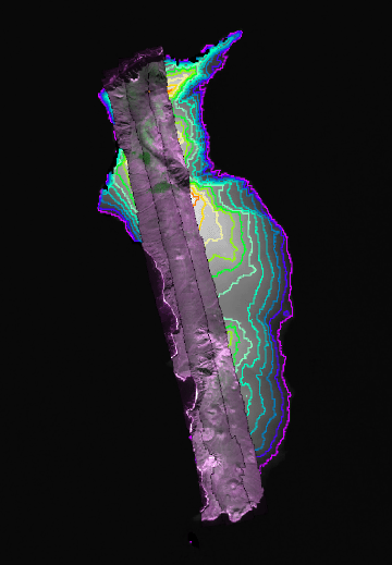
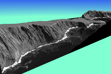
Image 1:
A mosaic of 220 images from three transects over a DEM with
contour lines. |
Click on the image above to view a larger JPEG image |
| |
|
Map:
Sketch map showing landmarks |

Click on the image above to view a larger JPEG image
|
| |
|
|
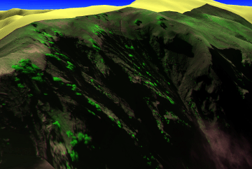
Image 2:
View from the southwest of the Island's west coast, with
imagery draped over the elevation. DEM used for registration
and
topography is the NASA SRTM
3 arc-second data. |
Click on the image above to view a larger JPEG image |
|
|
|
| |
|
|
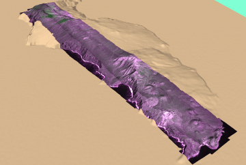
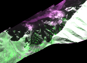
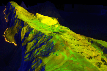
Image 3:
View from the northwest of the Islands central west coast,
with imagery draped over DTM (elevation data) derived from
imagery. DTM has
14 meter
interval. |
Click on the image above to view a larger JPEG image |
| |
|
|
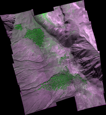
Image 4:
A mosaic of 26 images from three transects showing the Cypress groves.
1 meter resolution.
Link to 32 MB geotiff file in zip. |
Click on the image above to view a larger JPEG image |
| |
|
|
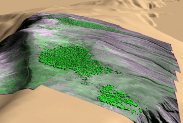
Image 5:
View from the north of the remaining groves,
with imagery draped over DEM. |
Click on the image above to view a larger JPEG image |
| |
|
| |
|
|
Image 6:
A portion of a mosaic of 17 images from a single transect.
1 meter per pixel resolution.
|
Click on the image above to view a larger JPEG image |
| |
|
|
Image 7:
View from the northeast of the remaining pines, with imagery
draped over DEM. |
Click on the image above to view a larger JPEG image |
| |
|
|
Image 8:
Explore the Punte del Norte.
No vertical exaggeration. |
Click on the image above to open a new browser window |
| |
|
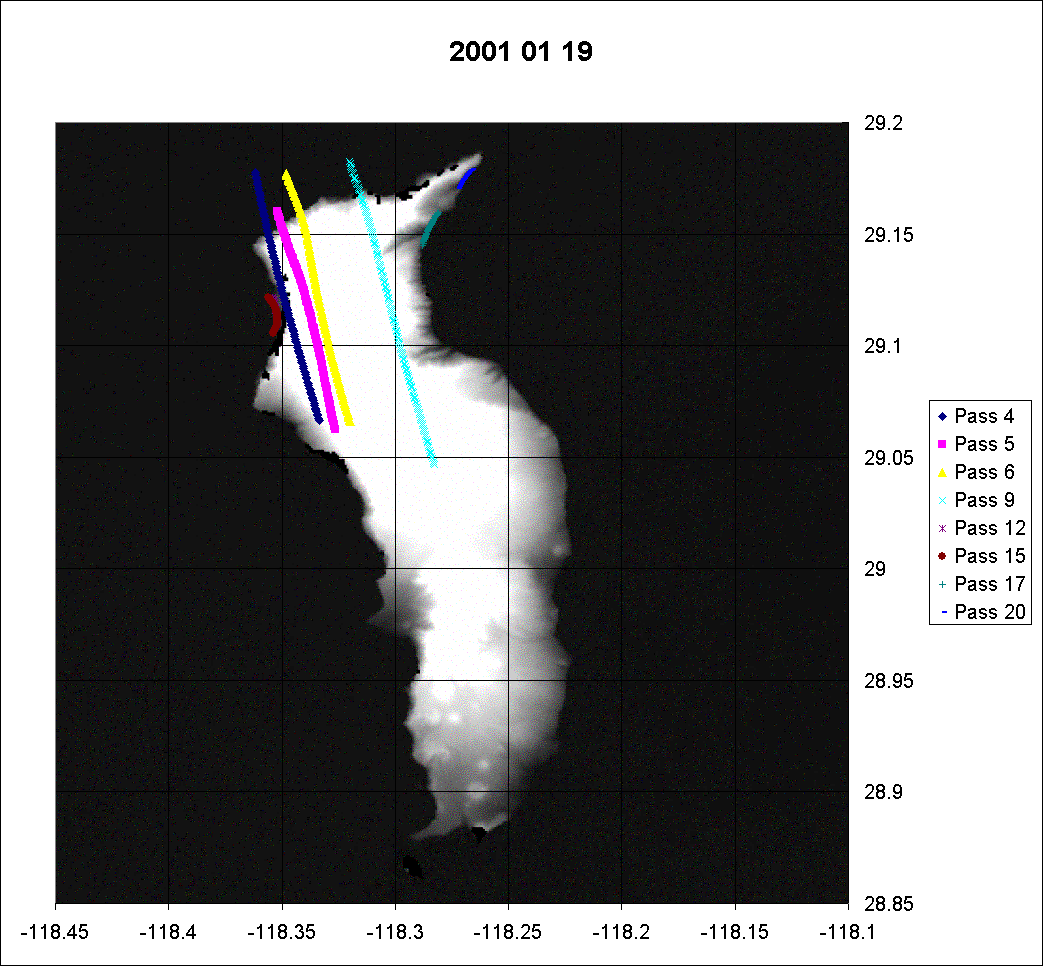
Excel Chart:
Showing current available transects from January 19,
2001. |
|
| |
|
|
Excel Chart:
Showing current available transects from January 20,
2001.
Passes 15, 16, and 18 are shown above. |
|
| |
|
|
Learn more about Guadalupe Island vegetation
protection: |
|