|
|

|
 |
Fire Science |
|
|
Pre-fire mapping |
|
|
Vegetation mortality survey,
San Bernardino National Forest
27 April 2003
As viewed by the FireMapper™ system
in reflected red, near-InfraRed and thermal-InfraRed light
Images were collected from the PSW Airborne Sciences Aircraft flying over the area near Big Bear Lake.
|
|
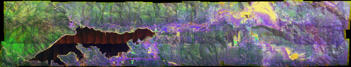
Click on the image above to view a larger Zoomify (JPEG) image with 1.5 meter resolution
(opens a new browser window)
|
| |
Healthy vegetation is bright green; stressed or dying vegetation is yellow-brown in this false-color depiction.
(This RGB image shows reflected red light at 650 nm in red, reflected NIR at 850 nm in green, and thermal IR at 10.5 um in blue. The blue band has been inverted, so that the colder areas are brighter blue.)
|
| |
|
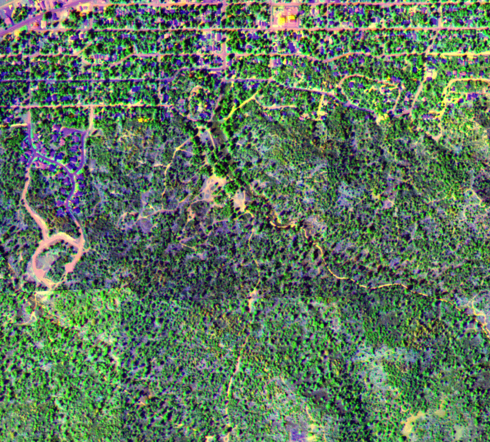
Image 2:
Image showing small patches of stressed and dying trees. (From an area just south of Big Bear City.)
|

Click on the image above to open a new browser window.
|
| |
|
|
|
|
FireMapper™ has
been developed through a Research Joint Venture with Space Instruments,
Inc., and support from the National Fire Plan, Forest Service International
Programs, the U.S. Department of Agriculture, the Joint Fire Sciences Program, and the U.S. Agency
for International Development.
|